

Save £50Pack of 5 maps
Retail Catchment Bundle
£179.00
£229.00
UK LOCATION INTEL
Map Intel turns maps and data into clear site picks, catchment views, heatmaps, and route plans. Compare places, see demand, and plan across the UK with simple reports.
BEST SELLERS
Lead with the products customers compare first: clear names, real benefits, prices, badges, and fast links to buy.
£179.00
£229.00
See footfall reach, drive times, and local demand
£129.00
Spot demand by street and ward

£159.00
£199.00
Find the places your rivals miss
£99.00
Balance routes and rep loads
£149.00
£179.00
Add census layers to any map

£89.00
Plan the best path between stops

£199.00
£249.00
Build clear reports for sites

£219.00
Review sales, gaps, and reach
Seasonal offer
Feature one bundle, collection, or gift guide with enough context to make the offer feel intentional.
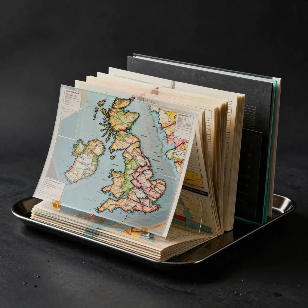
One pack for site checks, market maps, and team territory reviews.
£349.00
Featured offer

Social proof
Pair customer language with practical buying reassurance so shoppers can decide without hunting for policies.
“We cut our shortlist from 18 sites to 3 in one afternoon”
Maya Singh
Verified buyer
“The heatmaps made our trade area easy to show to the board”
Daniel Price
Verified buyer
Complete the basket

£119.00
Central London

£109.00
North West
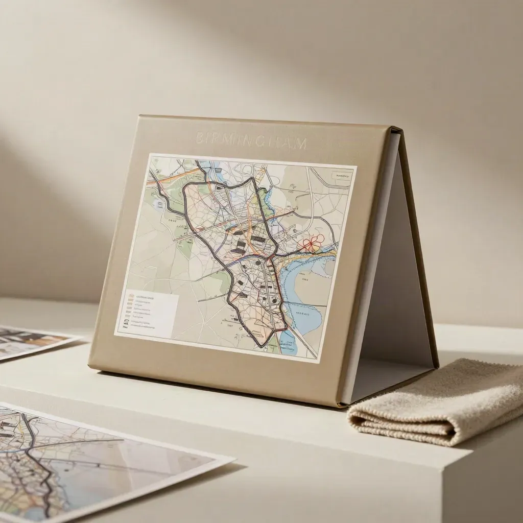
£99.00
West Midlands

£79.00
Age bands

£69.00
Field teams
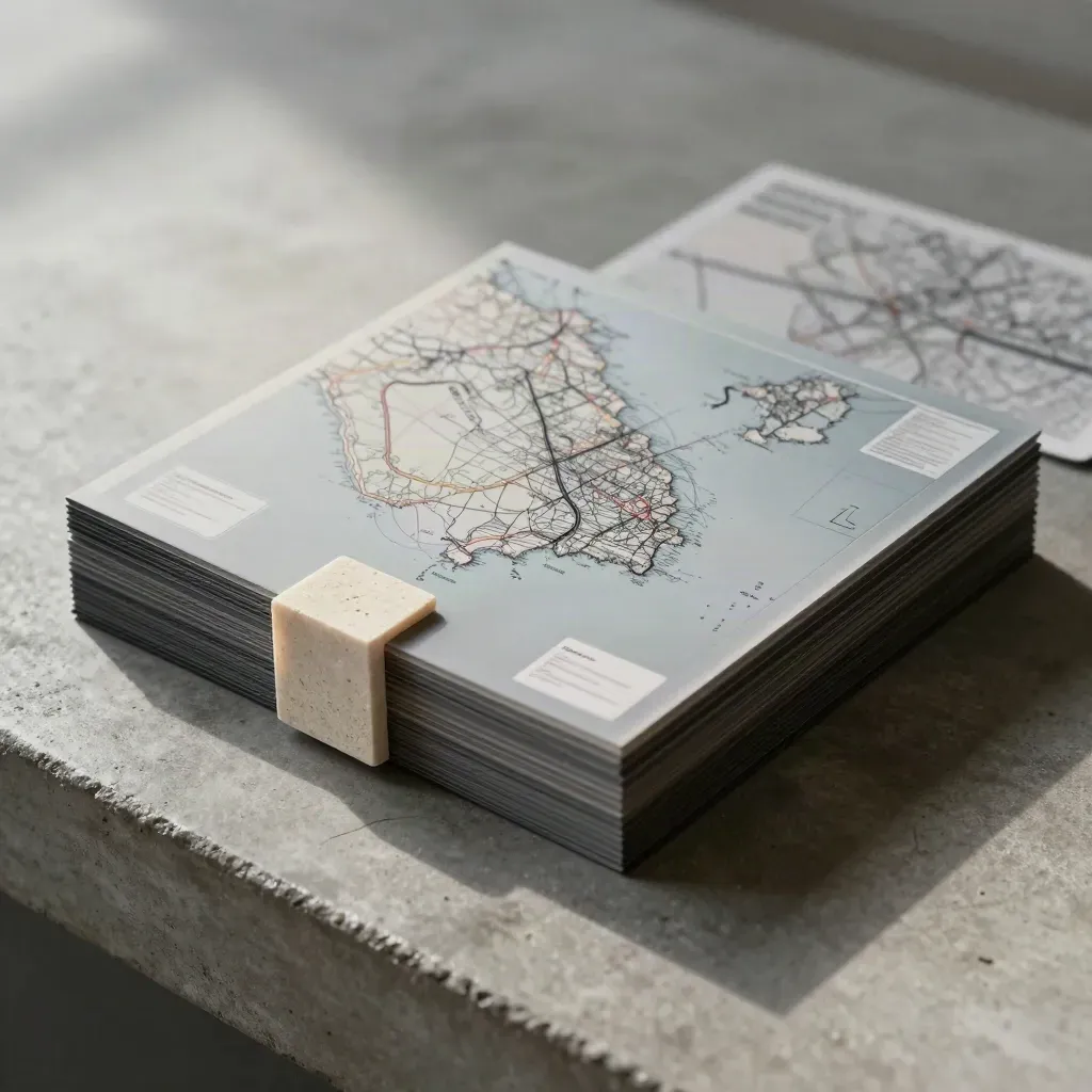
£89.00
Scotland

£129.00
Local checks

£239.00
Multi-region
Journal




Questions
Quick answers before visitors choose a product, service, or next step.
Map Intel turns maps, postcode lists, and sales data into site picks, catchment views, heatmaps, and clear reports for UK teams.
Retailers, estate teams, and planners use Map Intel to compare sites, set territories, and plan new openings with less guesswork.
Yes. We cover England, Scotland, Wales, and Northern Ireland, with reports built for local checks and national plans.
Yes. Upload store lists, sales files, postcodes, or boundary files, then add them to maps and reports in one place.
Simple packs are ready fast. Custom GIS work depends on scope, but we keep the steps clear and the price open.
No. The dashboards are built for busy teams, so you can read maps, filters, and charts without GIS training.
Get short email tips on site picks, catchment checks, and route planning across the UK.